
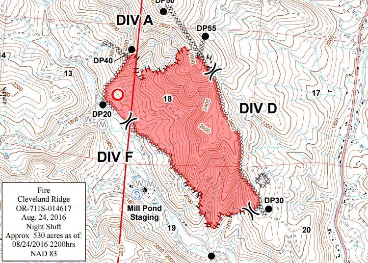
Trail, Ore.- The Cleveland Ridge Fire burning near Trail is smaller than the Oregon Department of Forestry originally thought. Firefighters were able to safely walk the perimeter of the fire Wednesday night, allowing for more accurate mapping. The total acreage burned now stands at 530 acres.
Fire crews were able to strengthen the fire line Wednesday night, with some areas reaching 25 to 30 feet wide in order to prevent spot fires Thursday.
The fire started Monday afternoon. As of Thursday evening, it was 35 percent contained.
Air and ground support will work to knock down the fire Thursday. They will continue to focus on the north side where the fire is most actively burning.
The Level 1 (be ready) Evacuation Notice will remain in effect for residents on Taylor Rd. and the west fork of Trail Creek Rd., as well as residents along Hwy. 227 from the junction with the west fork of Trail Creek Rd. to address 6481 Hwy. 227.
© 2024 KOBI-TV NBC5. All rights reserved unless otherwise stated.